Location & Projects
 Building & Flat
 Back
BackProject Address
| City | Mumbai City |
| Zone | Eastern Suburbs |
| Locality | Ghatkopar (west) |
| Sub-Locality | Jivdaya Lane |
| Pin Code | 400086 |
| Post Office | Mg. Road |
| Police Station | Ghatkopar Police Station |
Administrative Coordinates
| State/UT | Maharashtra |
| District | Mumbai Suburban |
| Division | Konkan |
| Taluka | Kurla |
| Village | Kurla |
| Street | Jivdaya Lane |
| Pin Code | 400086 |
| Locality Area | Ghatkopar West, 1091.20 |
Boundaries
| Boundaries - East Cts No 1762 |
Boundaries - West Cts No 1773 A |
Boundaries - North Cts No 1776 A |
Boundaries - South Cts No 1773b Jivdaya Lane |
| Survey No / CTS No / Plot Bearing No / Final Plot No. Plot Bearing No 40 Hissa 4 Part And Bearing City Survey Nos 1763 And 1764 |
Map Address
Jivdaya Lane, Village Kirol-Kurla, Ghatkopar (W Next to Sarvodaya Hospital, Near LBS Road, Junction of MTNL road Before Jagruti Nagar Metro station, Mumbai, Maharashtra 400086

Brochure Address
NA

Municipal Corporation / Council & Ward
Municipal Corporation Of Greater Mumbai
Ward N

Physical Infrastructure
Medical Care
Zynova Shalby Hospital
550 m
Educational Institutes
Ramniranjan Jhunjhunwala College
1.1 km
Retail & Supermarkets
Phoenix Market City
2.5 km
International Airport
Chhatrapati Shivaji Maharaj International Airport
5.2 km
Bus Station
Sarvodaya Hospital Bus Stop
550 m
Railway Station
Ghatkopar Railway Station
850 m
Highways & Roadways
Esatern Express Highway
3.8 km
Metro Station
Vivo Ghatkopar Metro Station
850 m
Educational Institutes
The Universal School
2.0 km
View More
View Less
Social Infrastructure
Malls & Entertainment
R City Mall
2.1 km
Commercial Infrastructure
Business Districts
| BKC | 5.3 km |
| Nariman Point / Fort | 24.1 km |
| Andheri East | 5.7 km |
| Thane | 19.3 km |
| Lower Parel | 13.8 km |
| Vashi, Navi Mumbai | 14.5 km |
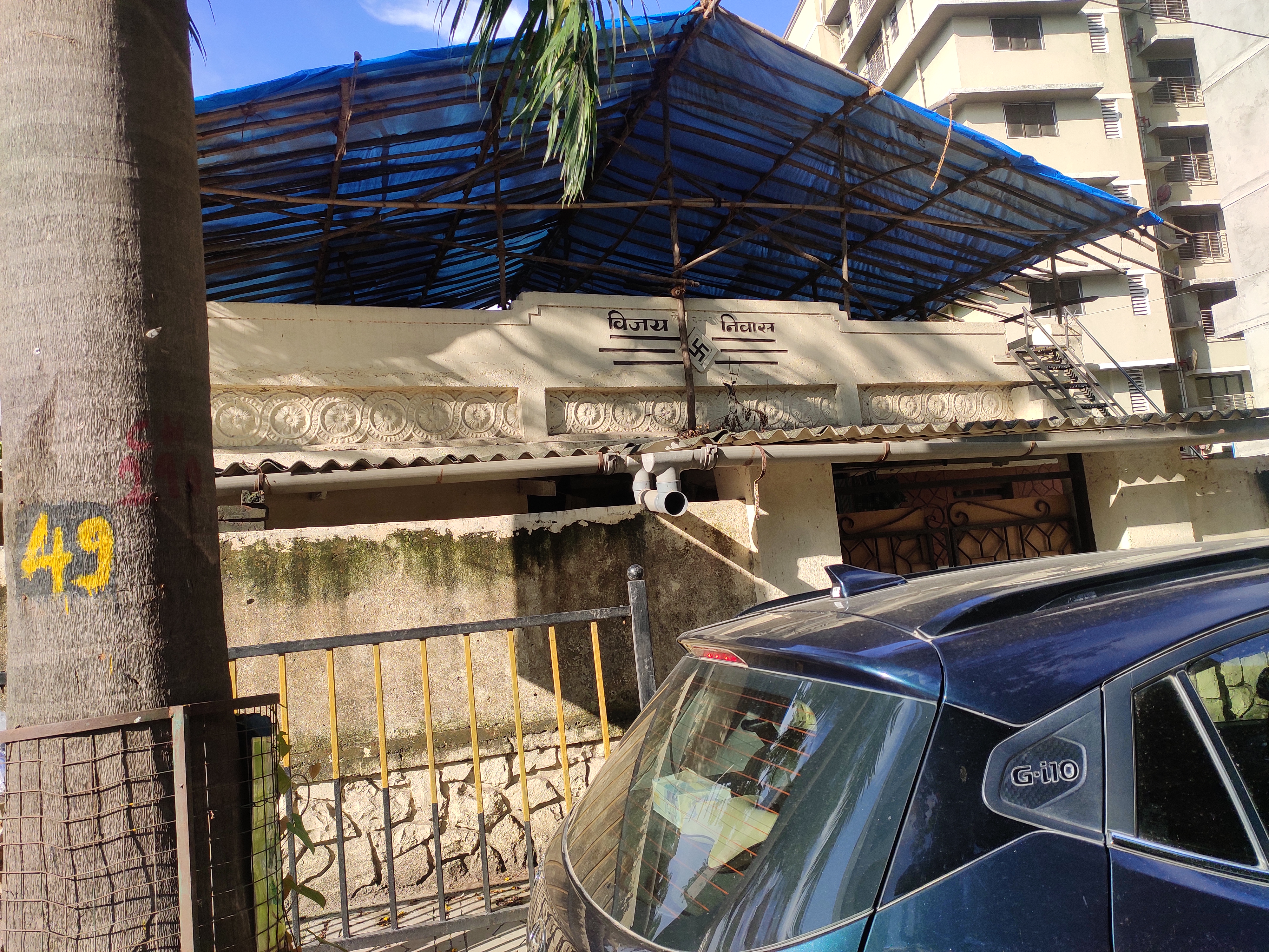 Locality & Neighbourhood
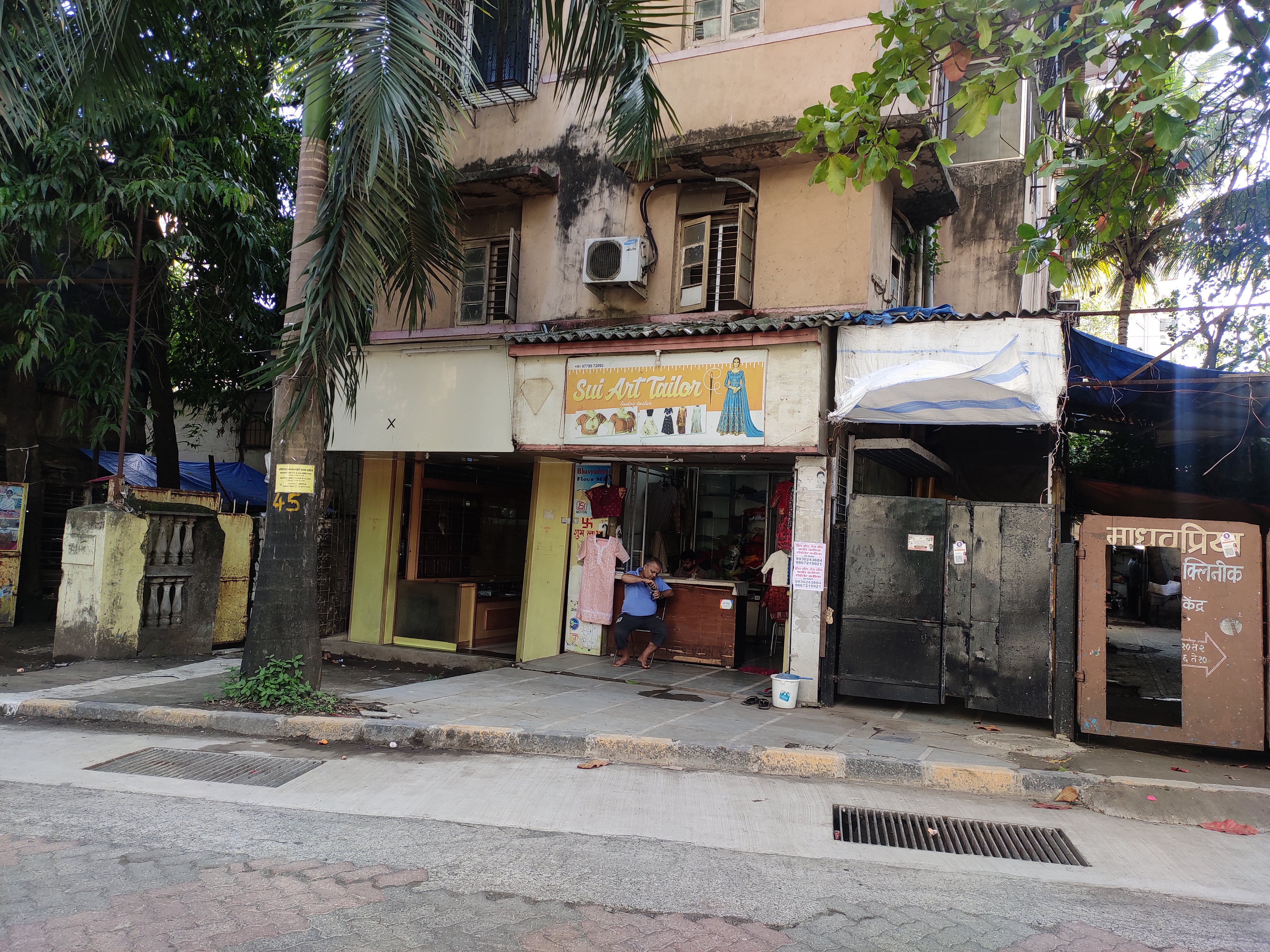 Locality & Neighbourhood
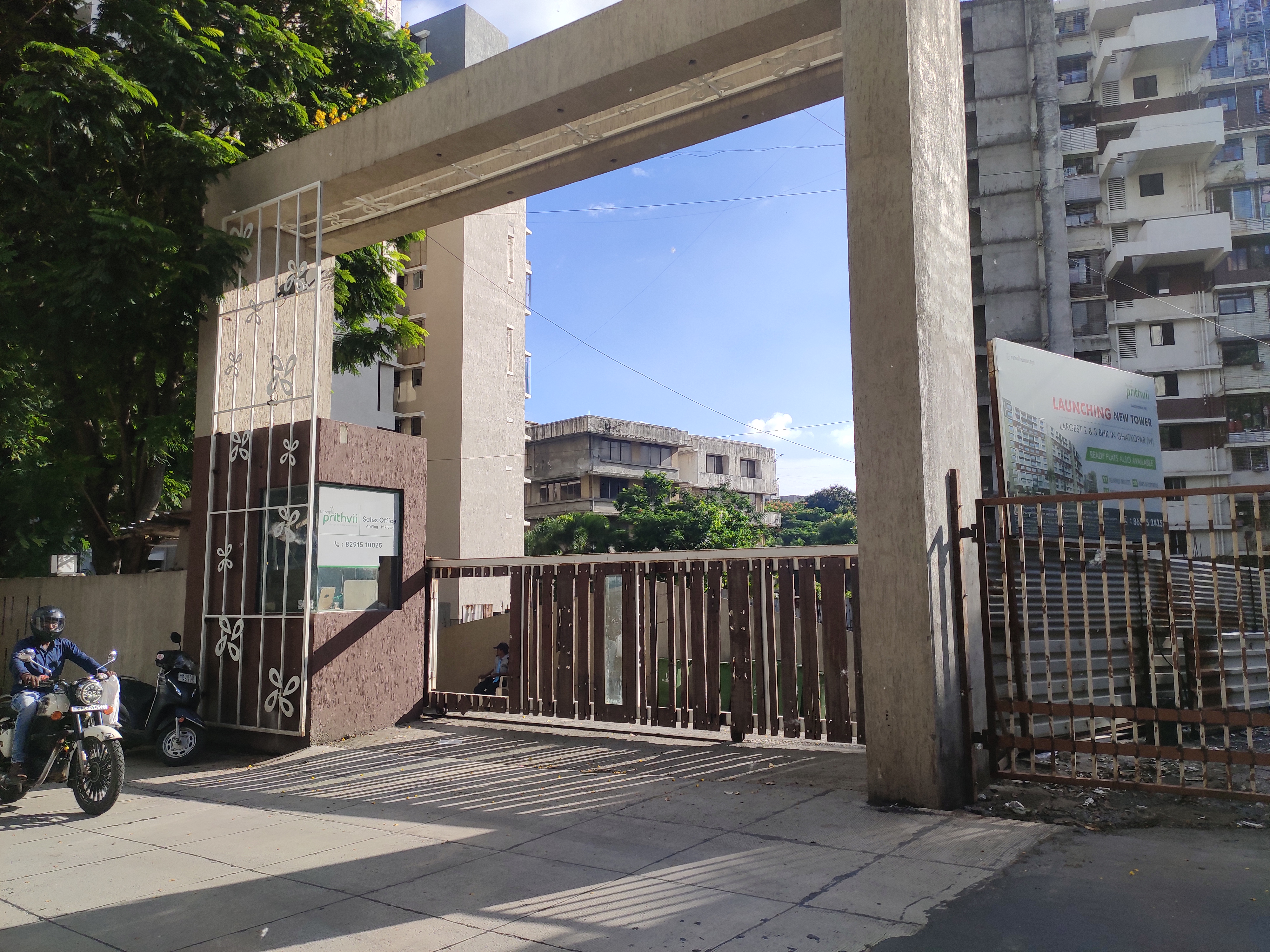 Locality & Neighbourhood
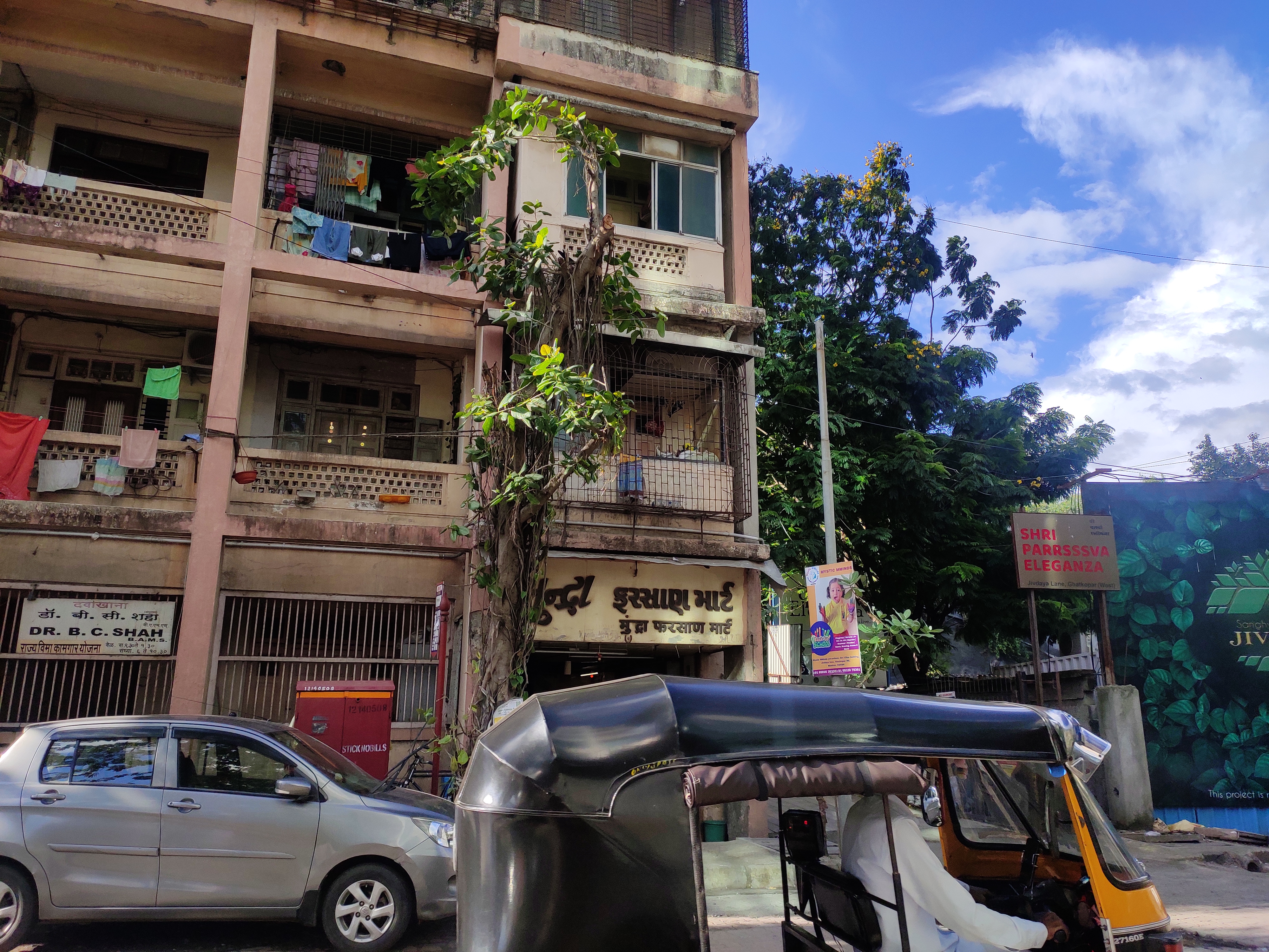 Locality & Neighbourhood
|
|
Prone to traffic jams during rush hour
|
|
|
41
|
|
|
51 to 85 dB
|
|
|
The surrounding area is clean. No presence of nalas /slums /gutters /sewers
|
|
|
IOD + CC
|
Contact Details
| Organisation Name ( Builder's Name) | NA | Organisation Type | NA |
| Website URL | NA | Office Number | NA |
| Description Of Other Type Of Organisation | NA | ||
Address Details
| Block Number | NA | Building Name | NA |
| Street Name | NA | Locality | NA |
| Landmark | NA | Division | NA |
| Pin Code | NA | Taluka | NA |
| State /UT | NA | District | NA |
| Village | NA |
| Consultant Type | As per Brochure | As per RERA |
|---|