Location & Projects
 Building & Flat
 Back
BackProject Address
| City | Vasai-virar |
| Zone | Nalasopara- Vasai- Virar |
| Locality | Naigaon East |
| Sub-Locality | Juchandra |
| Pin Code | 401208 |
| Post Office | Vasai East Ie |
| Police Station | Vasai Police Station |
Administrative Coordinates
| State/UT | Maharashtra |
| District | Palghar |
| Division | Konkan |
| Taluka | Vasai |
| Village | Tivari |
| Street | Tivari |
| Pin Code | 401208 |
| Locality Area | Tivari, 2955 |
Boundaries
| Boundaries - East Rivulet |
Boundaries - West Survey No 30 Hissa No 3 |
Boundaries - North 20 Meter Road |
Boundaries - South Survey No 30 Hissa No 3 Part |
| Survey No / CTS No / Plot Bearing No / Final Plot No. Survey No. 30 Hissa No. 2 Part, Survey No. 30 Hissa No. 3 Part, Survey No. 31 Part |
Map Address
Naigaon East, Tivri, Maharashtra 401208

Brochure Address
Naigaon East, Tivri, Maharashtra 401208

Municipal Corporation / Council & Ward
Vasai Virar City Municipal Corporation
NA

Physical Infrastructure
Medical Care
Siddharth Hospital
1.1 km
Educational Institutes
Don Bosco School
250 m
Retail & Supermarkets
Reliance Mart
200 m
International Airport
Chhatrapati Shivaji Maharaj International Airport
40 km
Bus Station
Juchandra Bus Stop
1 km
Railway Station
Naigoan Railway Station
2.4 km
Highways & Roadways
Nh 48 Highway
9.5 km
View More
View Less
Social Infrastructure
Malls & Entertainment
Mittal Shopping Mall
2.1 km
Commercial Infrastructure
Business Districts
| BKC | 55 km |
| Nariman Point / Fort | 72 km |
| Andheri East | 38 km |
| Thane | 30 km |
| Lower Parel | 53 km |
| Vasai MIDC | 8 km |
 Locality & Neighbourhood
 Locality & Neighbourhood
 Locality & Neighbourhood
 Locality & Neighbourhood
 Locality & Neighbourhood
 Locality & Neighbourhood
|
|
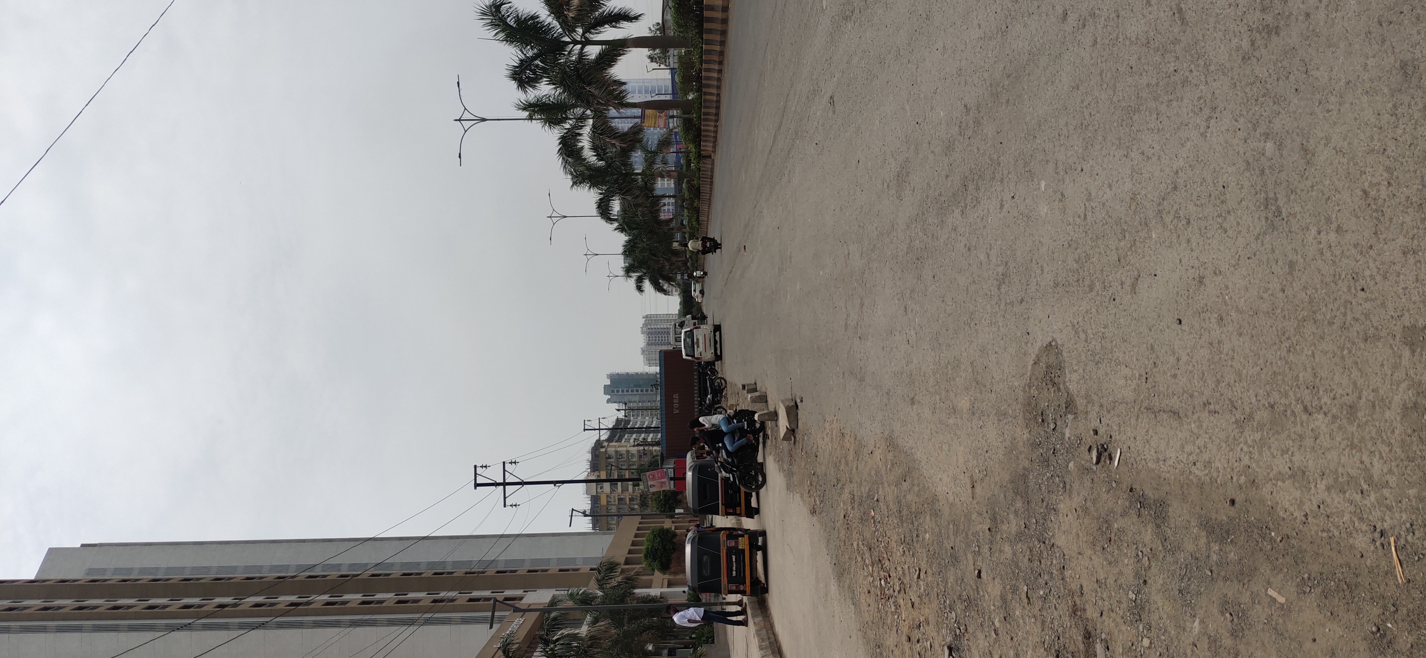
Not prone to traffic jams
|
|
|
95
|
|
|
0 to 50 dB
|
|
|
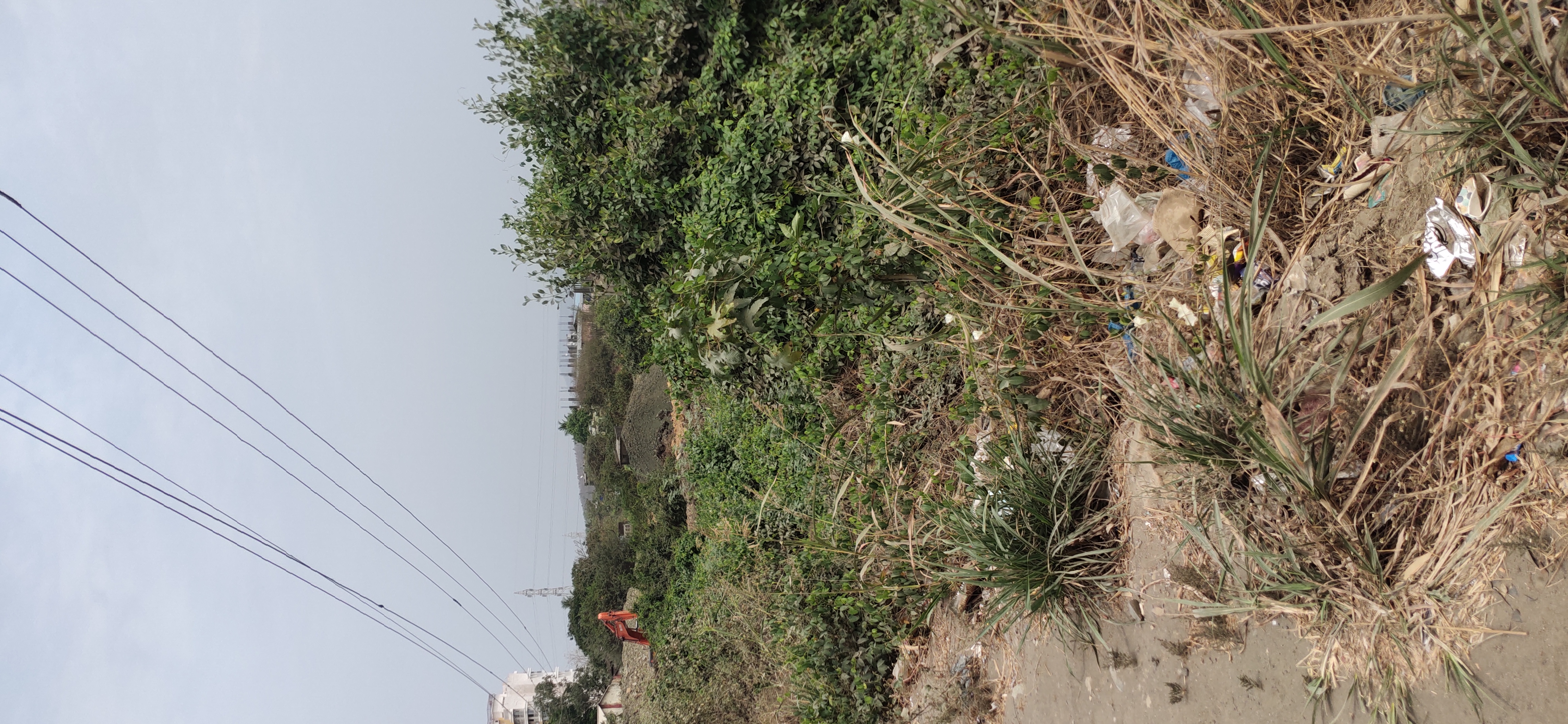
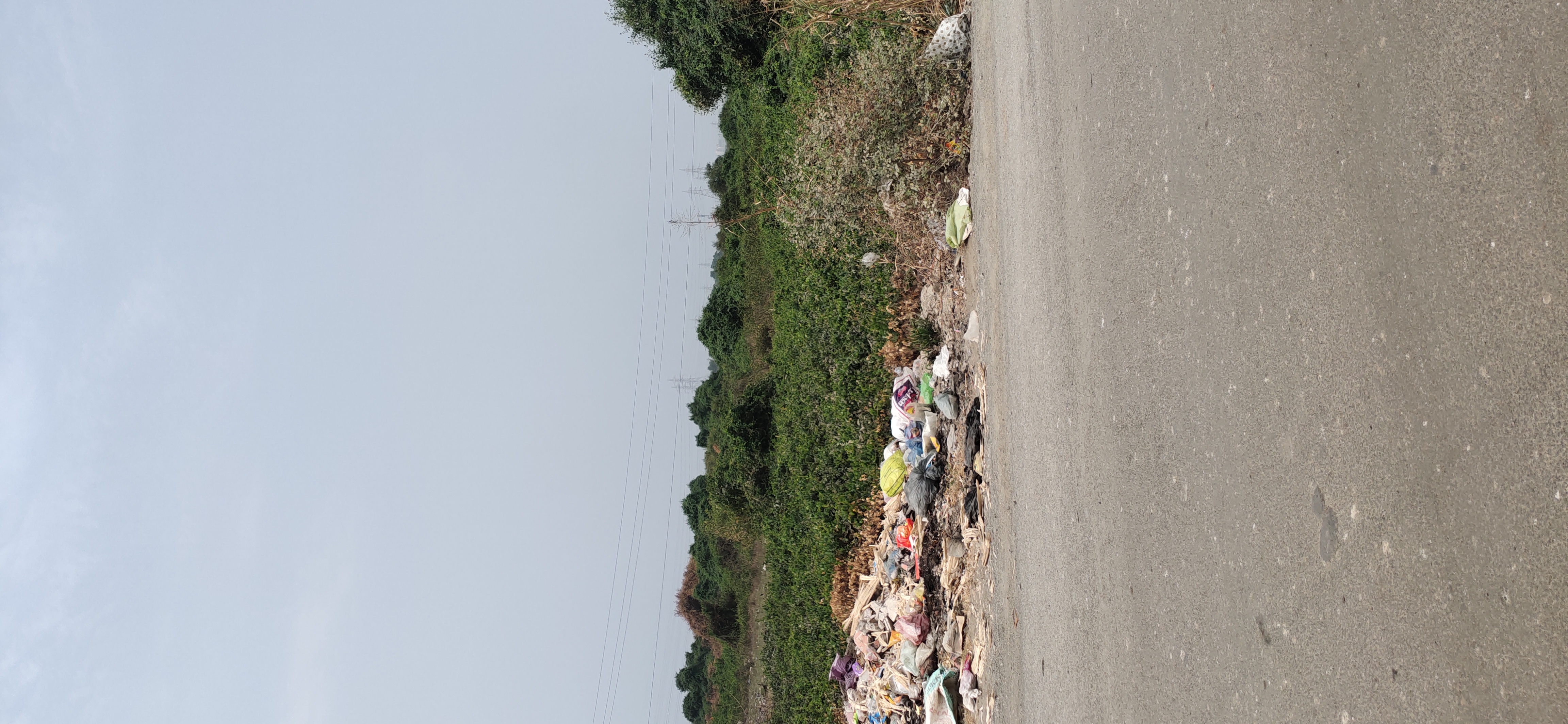
There are nalas / contaminated water outlets near the project
|
|
|
IOD + CC
|
Contact Details
| Organisation Name ( Builder's Name) | NA | Organisation Type | NA |
| Website URL | NA | Office Number | NA |
| Description Of Other Type Of Organisation | NA | ||
Address Details
| Block Number | NA | Building Name | NA |
| Street Name | NA | Locality | NA |
| Landmark | NA | Division | NA |
| Pin Code | NA | Taluka | NA |
| State /UT | NA | District | NA |
| Village | NA |
| Consultant Type | As per Brochure | As per RERA |
|---|