Location & Projects
 Building & Flat
 Back
BackProject Address
| City | Mumbai City |
| Zone | Western Suburbs |
| Locality | Borivali (east) |
| Sub-Locality | Magathane |
| Pin Code | 400066 |
| Post Office | Magathane |
| Police Station | Kasturba Police Station |
Administrative Coordinates
| State/UT | Maharashtra |
| District | Mumbai Suburban |
| Division | Konkan |
| Taluka | Borivali |
| Village | Borivali |
| Street | Gulmohar City |
| Pin Code | 400066 |
| Locality Area | Gulmohar City, Magathane, 1767.44 |
Boundaries
| Boundaries - East Tata Power |
Boundaries - West Residential Building |
Boundaries - North Road |
Boundaries - South Tata Power |
| Survey No / CTS No / Plot Bearing No / Final Plot No. 219 Part |
Map Address
Riddhi Siddhi CHSL, Gulmohar City, Opp Magathane Bus Depot, behind Tata Power, Borivali (E, Mumbai, Maharashtra 400066

Brochure Address
Riddhi Siddhi Chsl, Gulmohar City, Opp Magathane Bus Depot., Behind Tata Power, Borivali (e), Mumbai - 400066.

Municipal Corporation / Council & Ward
Municipal Corporation Of Greater Mumbai
NA

Physical Infrastructure
Medical Care
Apex Multispeciality Hospitals
900 m
Educational Institutes
St. John’s High School (icse)
1.7 km
Retail & Supermarkets
D Mart
2.3 km
International Airport
Chhatrapati Shivaji Maharaj International Airport
18.2 km
Bus Station
Magathane Bus Depot
400 m
Railway Station
Borivali Railway Station
2.2 km
Highways & Roadways
Western Express Highway
500 m
View More
View Less
Social Infrastructure
Malls & Entertainment
Infiniti Mall
7.8 km
Malls & Entertainment
Carnival Cinemas Borivali
1.1 km
Commercial Infrastructure
Business Districts
| BKC | 22.4 km |
| Nariman Point / Fort | 39.0 km |
| Andheri East | 13.6 km |
| Thane | 25.2 km |
| Lower Parel | 58.4 km |
| M.I.D.C, Chakala Industrial Area | 13.7 km |
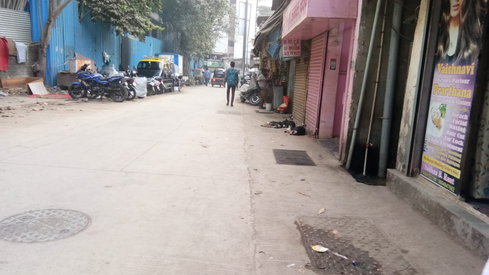 Locality & Neighbourhood
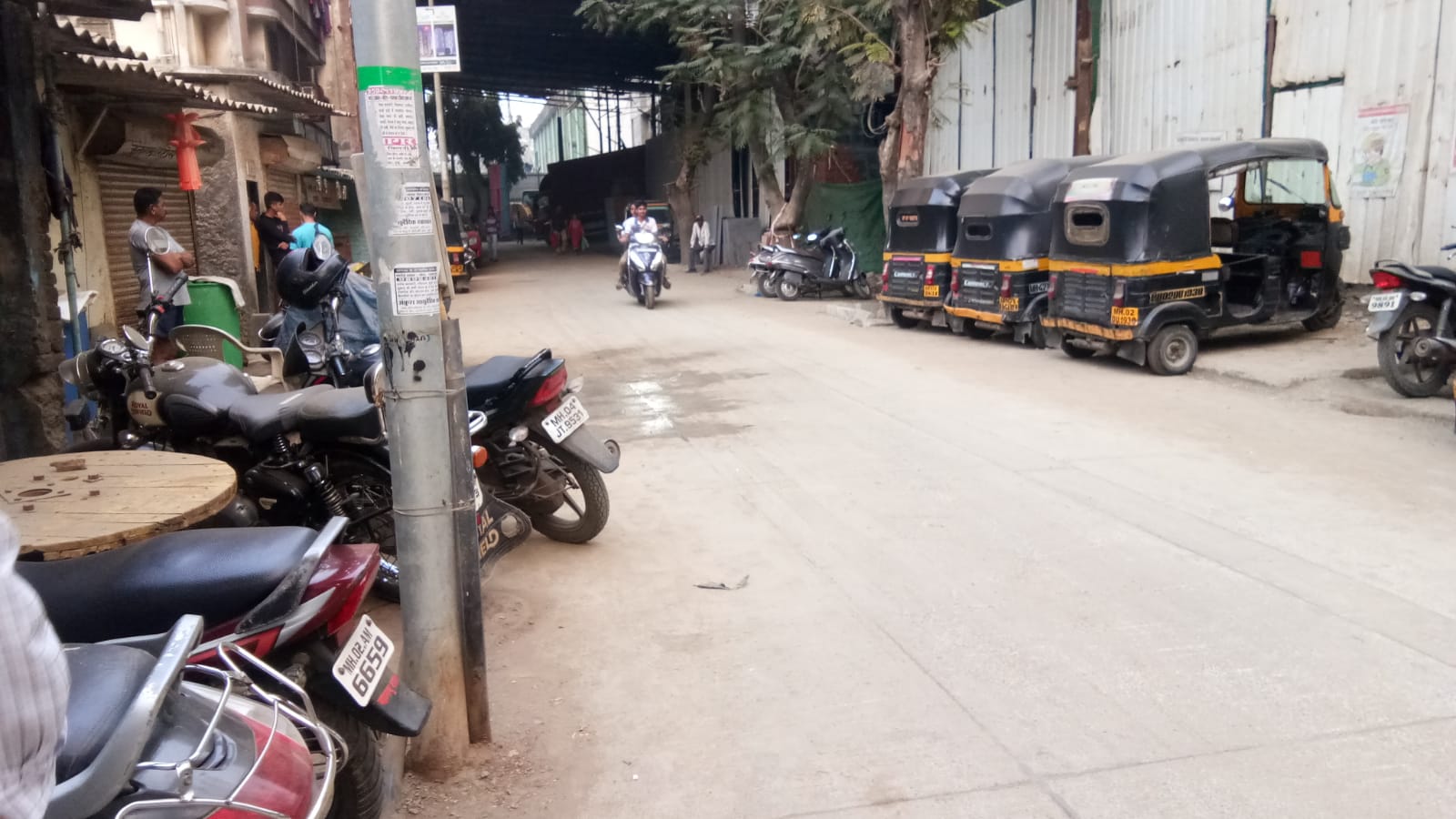 Locality & Neighbourhood
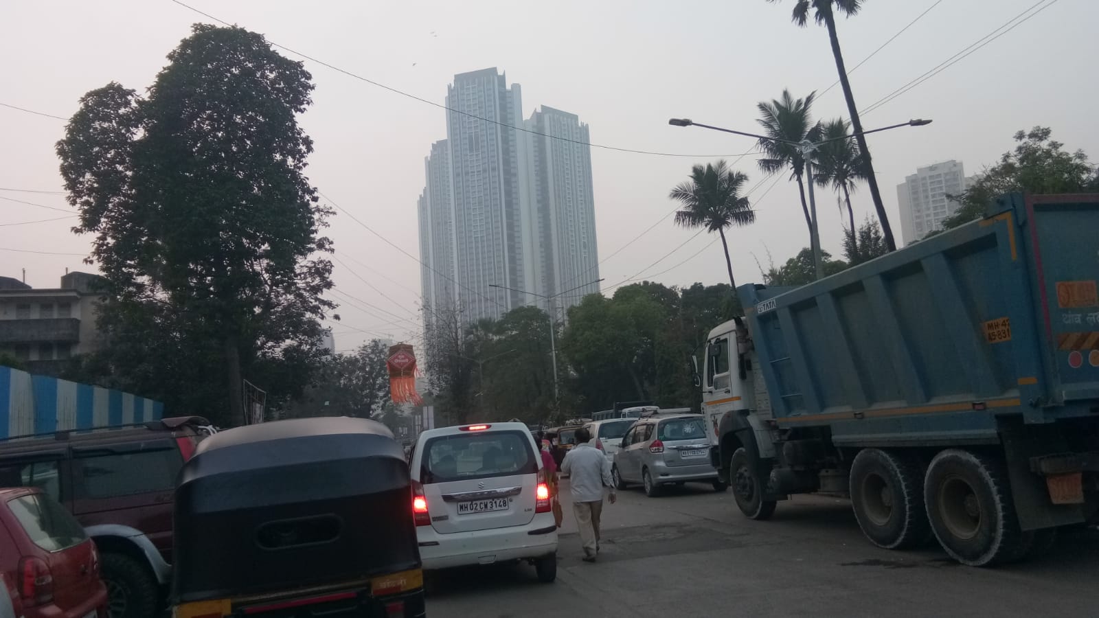 Locality & Neighbourhood
|
|
Not prone to traffic jams
|
|
|
180
|
|
|
0 to 50 dB
|
|
|
The surrounding area is clean. No presence of nalas /slums /gutters /sewers,There are slums settlements near the project
|
|
|
IOD + CC
|
Contact Details
| Organisation Name ( Builder's Name) | NA | Organisation Type | NA |
| Website URL | NA | Office Number | NA |
| Description Of Other Type Of Organisation | NA | ||
Address Details
| Block Number | NA | Building Name | NA |
| Street Name | NA | Locality | NA |
| Landmark | NA | Division | NA |
| Pin Code | NA | Taluka | NA |
| State /UT | NA | District | NA |
| Village | NA |
| Consultant Type | As per Brochure | As per RERA |
|---|