Location & Projects
 Building & Flat
 Back
BackProject Address
| City | Kalyan-dombivli |
| Zone | Kalyan |
| Locality | Kalyan West |
| Sub-Locality | Bhoirwadi |
| Pin Code | 421301 |
| Post Office | Kalyan City |
| Police Station | Kalyan Taluka Police Station |
Administrative Coordinates
| State/UT | Maharashtra |
| District | Thane |
| Division | Konkan |
| Taluka | Kalyan |
| Village | Chikanghar |
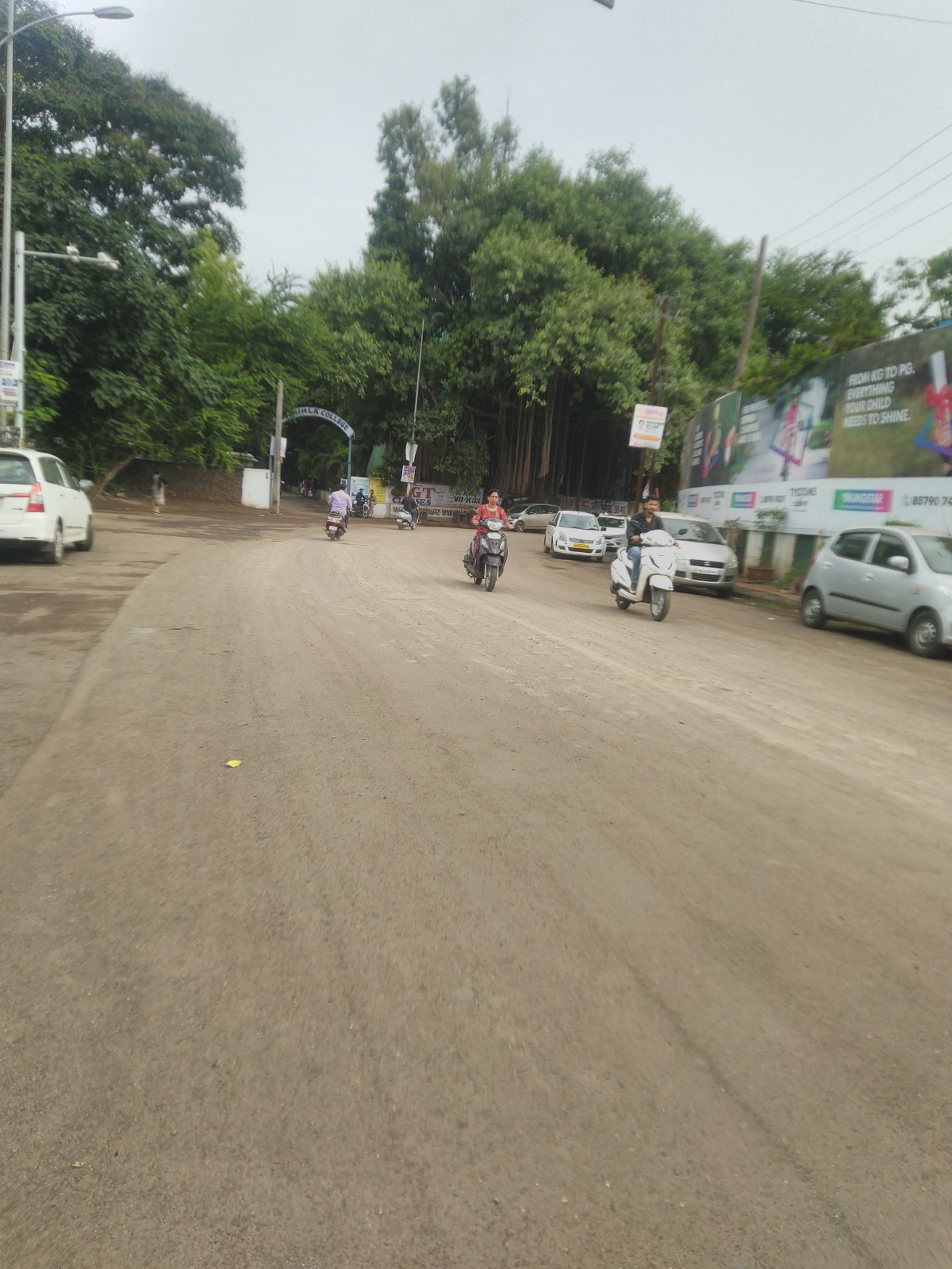
| Street | Birla College Road |
| Pin Code | 421301 |
| Locality Area | Konkan Vasahat, 8902.95 |
Boundaries
| Boundaries - East 15 Mtr Wide D P Road |
Boundaries - West Survey No 12 |
Boundaries - North 18 Mtr Wide Road |
Boundaries - South 6 Mtr Wide Road |
| Survey No / CTS No / Plot Bearing No / Final Plot No. 22 |
Map Address
Tycoons Square Sales Experience Gallery, Avenue 1, Tycoons Square, near Birla School, Kalyan, Maharashtra 421301

Brochure Address
Avenue 1, Tycoons Square, Tower B, Near Birla School, Kalyan (west) 421 301

Municipal Corporation / Council & Ward
Kalyan-dombivali Municipal Corporation
Ward B

Physical Infrastructure
Medical Care
Holy Cross Hospital
1.8 km
Educational Institutes
B.k Birla Public School
230 m
Retail & Supermarkets
D Mart, Mohan Square One
2.4 km
International Airport
Chhatrapati Shivaji International Airport
42.7 km
Bus Station
Sahyadri Pada
140 m
Railway Station
Kalyan Railway Station
3 km
Highways & Roadways
Mh Msh 2, Gauripada
140 m
Domestic Airport
Domestic Airport Terminal 1-b
54.2 km
View More
View Less
Social Infrastructure
Malls & Entertainment
Metro Junction Mall
4.8 km
Commercial Infrastructure
Business Districts
| BKC | 45.6 km |
| Nariman Point / Fort | 59.2 km |
| Andheri East | 44 km |
| Thane | 22.6 km |
| Lower Parel | 52.9 km |
| Vashi | 30.1 km |
 Locality & Neighbourhood
 Locality & Neighbourhood
|
|
Not prone to traffic jams
|
|
|
22
|
|
|
0 to 50 dB
|
|
|
The surrounding area is clean. No presence of nalas /slums /gutters /sewers
|
|
|
IOD (Intimidation of Disapproval) Certificate
|
Contact Details
| Organisation Name ( Builder's Name) | NA | Organisation Type | NA |
| Website URL | NA | Office Number | NA |
| Description Of Other Type Of Organisation | NA | ||
Address Details
| Block Number | NA | Building Name | NA |
| Street Name | NA | Locality | NA |
| Landmark | NA | Division | NA |
| Pin Code | NA | Taluka | NA |
| State /UT | NA | District | NA |
| Village | NA |
| Consultant Type | As per Brochure | As per RERA |
|---|