Location & Projects
 Building & Flat
 Back
BackProject Address
| City | Bhiwandi-nizampur |
| Zone | Bhiwandi East |
| Locality | Bhiwandi -thane Road |
| Sub-Locality | Narpoli |
| Pin Code | 421302 |
| Post Office | Anjur |
| Police Station | Bhiwandi Taluka Police Station |
Administrative Coordinates
| State/UT | Maharashtra |
| District | Thane |
| Division | Konkan |
| Taluka | Bhiwandi |
| Village | Bhiwandi (m Corp.) |
| Street | Narpoli |
| Pin Code | 421302 |
| Locality Area | Bhiwandi, 2619.55 |
Boundaries
| Boundaries - East Survey No 116 5 |
Boundaries - West Dp Road |
Boundaries - North Survey No 16 1 |
Boundaries - South Dp Road |
| Survey No / CTS No / Plot Bearing No / Final Plot No. S.no 16 Hissa No 3paiki,4a Paiki 6paiki |
Map Address
Vardhaman Bhoomi Residency, Chinchoti Anjur Phata Rd, Kariwali, Bhiwandi, Maharashtra 421302

Brochure Address
Vardhaman Bhoomi Residency, Chinchoti Anjur Phata Rd, Kariwali, Bhiwandi, Maharashtra 421302

Municipal Corporation / Council & Ward
Bhiwandi-nizampur City Municipal Corporation
Bhiwandi-nizampur Municipal Corporation

Physical Infrastructure
Medical Care
Global Hospital
1.5 km
Educational Institutes
Holy Mary Convent High School
2 km
Retail & Supermarkets
Ramdev Super Market
1.9 km
International Airport
Chhatrapati Shivaji Maharaj International Airport
34.1 km
Bus Station
Bhiwandi Bus Depot
4.8 km
Railway Station
Bhiwandi Railway Station
2 km
Highways & Roadways
Mh Sh 35, Kamatghar
1 km
Domestic Airport
Domestic Airport Terminal 1-b
41.1 km
View More
View Less
Social Infrastructure
Malls & Entertainment
Metro Junction Mall
15 km
Commercial Infrastructure
Business Districts
| BKC | 35.9 km |
| Nariman Point / Fort | 49.6 km |
| Andheri East | 33.5 km |
| Thane | 10.9 km |
| Lower Parel | 42.3 km |
| Vashi | 28.9 km |
 Locality & Neighbourhood
 Locality & Neighbourhood
 Locality & Neighbourhood
|
|
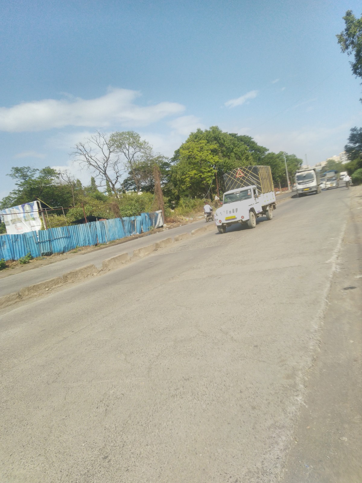
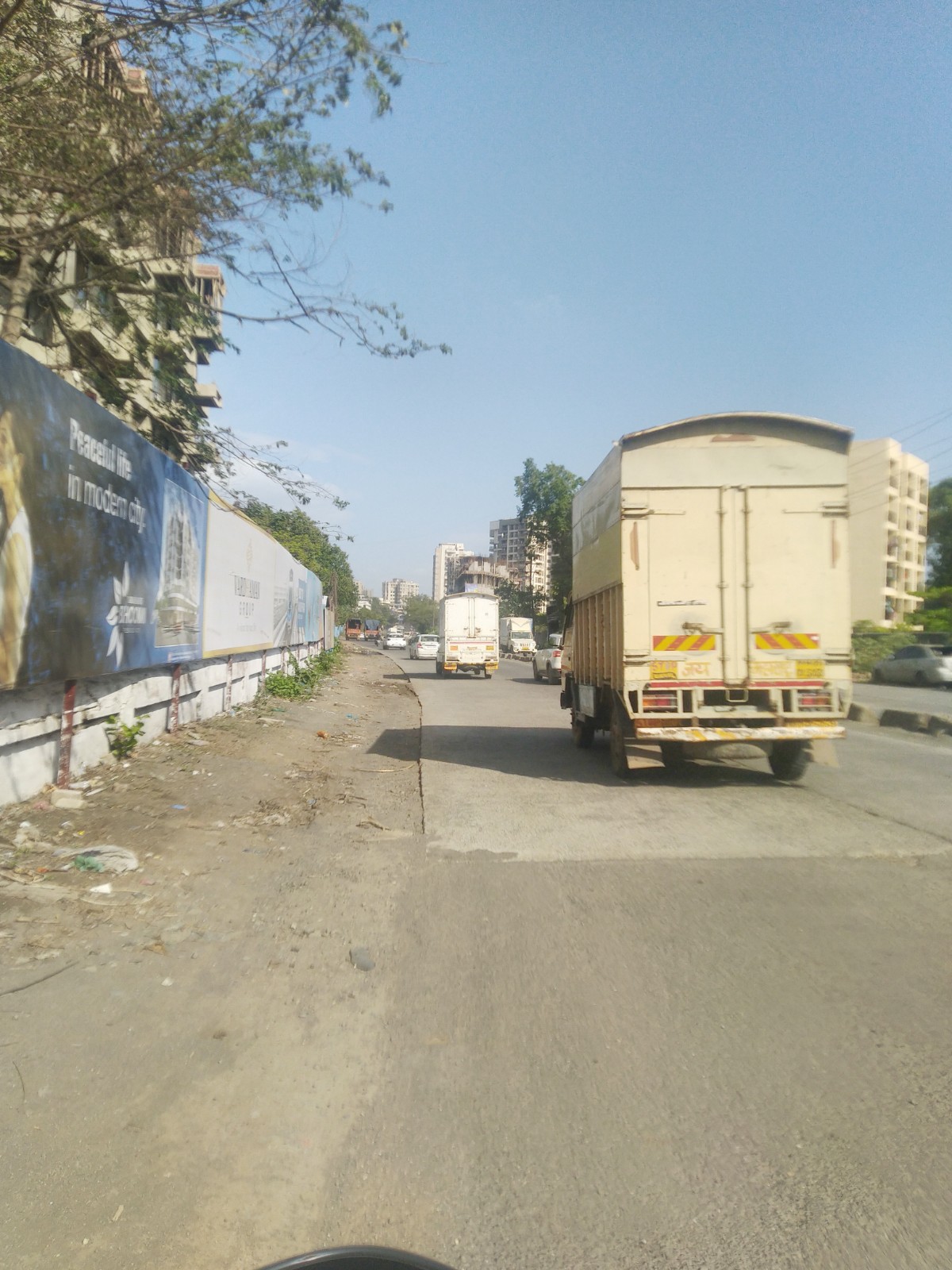
Not prone to traffic jams
|
|
|
101
|
|
|
0 to 50 dB
|
|
|
The surrounding area is clean. No presence of nalas /slums /gutters /sewers
|
|
|
IOD + CC
|
Contact Details
| Organisation Name ( Builder's Name) | NA | Organisation Type | NA |
| Website URL | NA | Office Number | NA |
| Description Of Other Type Of Organisation | NA | ||
Address Details
| Block Number | NA | Building Name | NA |
| Street Name | NA | Locality | NA |
| Landmark | NA | Division | NA |
| Pin Code | NA | Taluka | NA |
| State /UT | NA | District | NA |
| Village | NA |
| Consultant Type | As per Brochure | As per RERA |
|---|