Location & Projects
 Building & Flat
 Back
BackProject Address
| City | Mira-bhayandar |
| Zone | Bhayandar |
| Locality | Bhayander West |
| Sub-Locality | Bhayander Uttan Road |
| Pin Code | 401105 |
| Post Office | Navghar |
| Police Station | Navgaon |
Administrative Coordinates
| State/UT | Maharashtra |
| District | Thane |
| Division | Konkan |
| Taluka | Thane |
| Village | Mira-bhayandar (m Corp.) |
| Street | NA |
| Pin Code | 401101 |
| Locality Area | NA, 1808.39 |
Boundaries
| Boundaries - East Old Sno 214 New 132 |
Boundaries - West Old Sno 205 New Sno 7 |
Boundaries - North Old Sno 209 New 96 |
Boundaries - South Old Sno 211 New Sno 94 |
| Survey No / CTS No / Plot Bearing No / Final Plot No. Old Sno 210/2 New 95/2 |
Map Address
Rai Village, Aagri, Walchand Nagar, vaijnath talao, Bhayandar West, Mira Bhayandar, Maharashtra 401101

Brochure Address
Rai Village, Aagri, Walchand Nagar, Vaijnath Talao, Bhayandar West, Mira Bhayandar, Maharashtra 401101

Municipal Corporation / Council & Ward
Mira -bhayandar Municipal Corporation
NA

Physical Infrastructure
Medical Care
Tembha Hospital
4.2 km
Educational Institutes
Our Lady Of Nazareth High School.
3.5 km
Retail & Supermarkets
D Mart
3.2 km
International Airport
Mumbai International Airport
31.5 km
Bus Station
Bhayandar West Bus Station
3.2 km
Railway Station
Bhayandar Station
3.2 km
Highways & Roadways
Western Express Highway
8.8 km
View More
View Less
Social Infrastructure
Malls & Entertainment
Maxus Mall
4.0 km
Commercial Infrastructure
Business Districts
| BKC | 36.0 km |
| Nariman Point / Fort | 54.0 km |
| Andheri East | 28.1 km |
| Thane | 26.5 km |
| Lower Parel | 43.0 km |
| Mindspace, Malad | 22.1 km |
 Locality & Neighbourhood
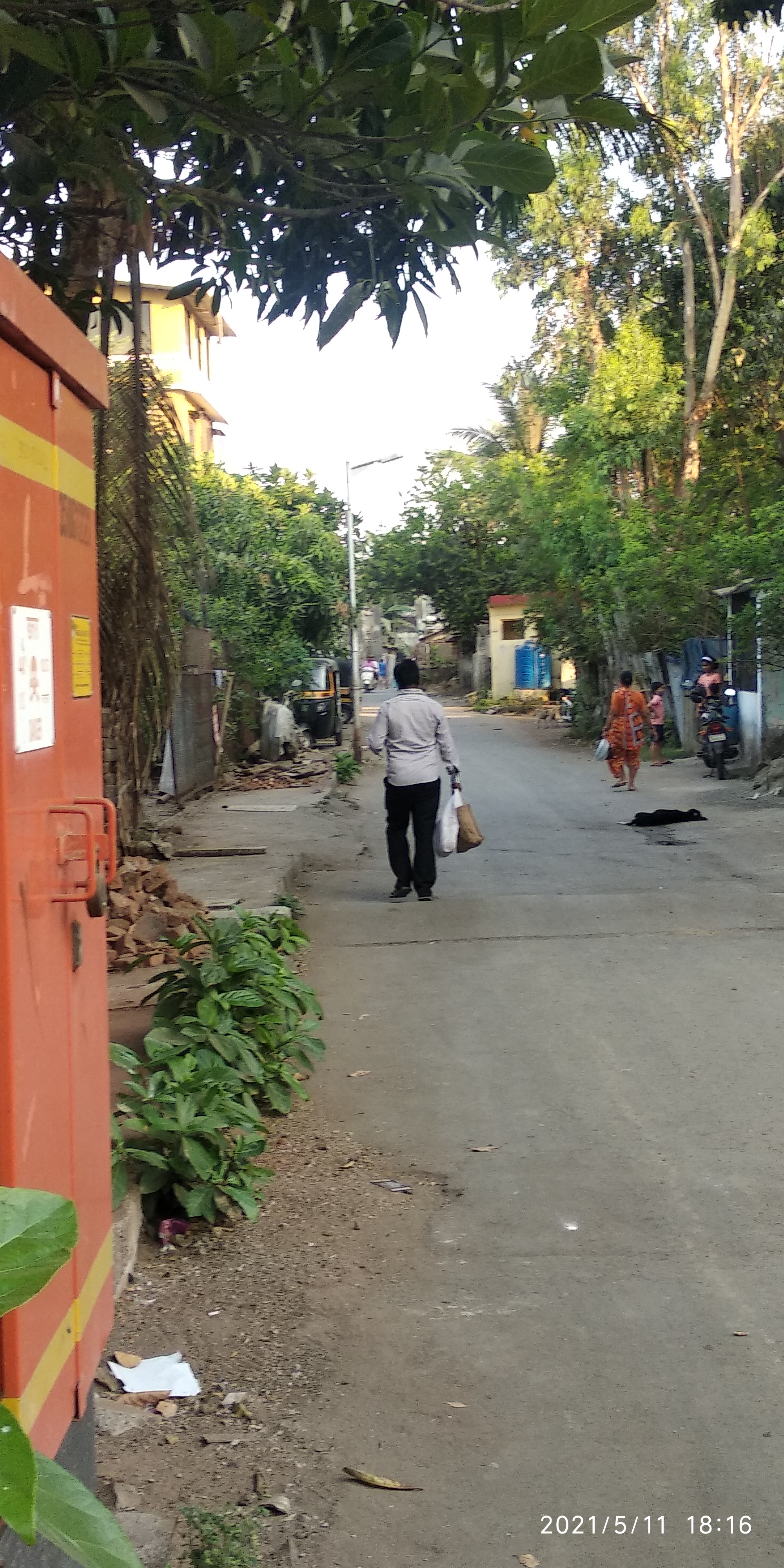 Locality & Neighbourhood
 Locality & Neighbourhood
|
|
-
|
|
|
-
|
|
|
-
|
|
|
-
|
|
|
-
|
Contact Details
| Organisation Name ( Builder's Name) | NA | Organisation Type | NA |
| Website URL | NA | Office Number | NA |
| Description Of Other Type Of Organisation | NA | ||
Address Details
| Block Number | NA | Building Name | NA |
| Street Name | NA | Locality | NA |
| Landmark | NA | Division | NA |
| Pin Code | NA | Taluka | NA |
| State /UT | NA | District | NA |
| Village | NA |
| Consultant Type | As per Brochure | As per RERA |
|---|