Location & Projects
| City | Mumbai City |
| Zone | South Mumbai |
| Locality | Prabhadevi |
| Sub-Locality | Svs Marg |
| Pin Code | 400028 |
| Post Office | Gokhale Road |
| Police Station | NA |
| State/UT | Maharashtra |
| District | Mumbai City |
| Division | Konkan |
| Taluka | Ward Gsouth |
| Village | Gsouth-400025 |
| Street | Gokhale Road |
| Pin Code | 400025 |
| Locality Area | Prabhadevi, 14458.58 |
| Boundaries - East Approx 30 Mtr Gokhale Road South |
Boundaries - West Fp No 1050 And 1051 And 1053 |
Boundaries - North Approx 24 Mtr Sayani Road And Fp No 1029 |
Boundaries - South Fp No 1045 And 1046 And 1047 Old Prabhadevi Rd |
| Survey No / CTS No / Plot Bearing No / Final Plot No. Fp No. 1043/plot B |
Map Address
Rustomjee Crown, Gokhale Rd S, Prabhadevi, Mumbai, Maharashtra 400025

Brochure Address
Rustomjee Crown, Gokhale Rd S, Prabhadevi, Mumbai, Maharashtra 400025

Municipal Corporation / Council & Ward
Municipal Corporation Of Greater Mumbai
Ward G South

Medical Care
King Edward Memorial Hospital
1.7 km
Educational Institutes
Dy Patil International School
2 km
Retail & Supermarkets
Trip Market Llp, Naman Midtown, "a" Wing, 21th- Floor B/h Kamgar Kala Kendra, Senapati Bapat Marg, West, Prabhadevi, Mumbai, Maharashtra 400013
800 m
International Airport
Chhatrapati Shivaji Maharaj International Airport
12.90 km
Bus Station
Msrtc Shivneri Bus Stand Dadar, Mobile No ---836772752, 9, Dr Baba Saheb Ambedkar Rd, Lokmanya Tilak Colony, Dadar, Mumbai, Maharashtra 400014
3.10 km
Railway Station
Prabhadevi Railway Station
850 m
Highways & Roadways
Eastern Express Hwy, Maharashtra
4.20 km
Railway Station
Dadar Railway Station
3.00 km
Railway Station
Lower Parel Railway Station
1.8 km
Educational Institutes
Ls Raheja School Of Arts
1.8 km
Domestic Airport
Domestic Airport Terminal 1-b,
11.8 km
Malls & Entertainment
High Street Phoenix
3.2 km
Business Districts
| BKC | 10.30 km |
| Nariman Point / Fort | 11.60 km |
| Andheri East | 15.20 km |
| Thane | 28.20 km |
| Lower Parel | 2.20 km |
| MMRDA Area, Kalina, Santacruz East, | 9.7 km |
|
|
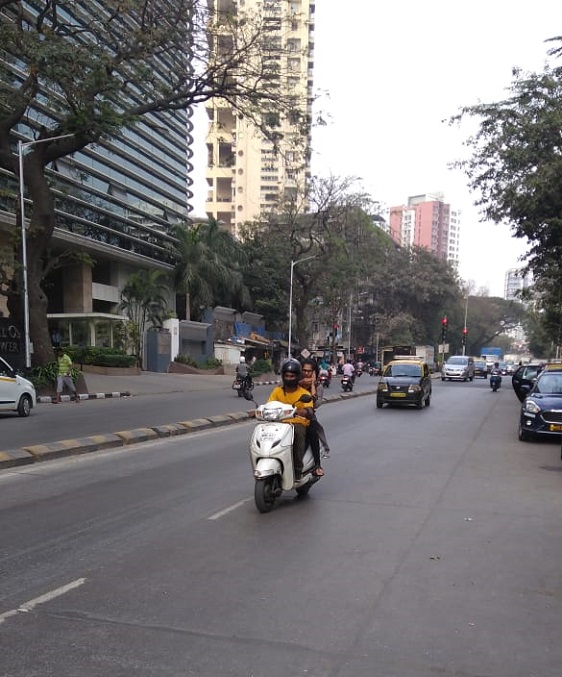
Prone to traffic jams during rush hour
|
|
|
80 Satisfactory
|
|
|
0 to 50 dB
|
|
|
The surrounding area is clean. No presence of nalas /slums /gutters /sewers
|
|
|
IOD (Intimidation of Disapproval) Certificate
|
| Organisation Name ( Builder's Name) | NA | Organisation Type | NA |
| Website URL | NA | Office Number | NA |
| Description Of Other Type Of Organisation | NA | ||
| Block Number | NA | Building Name | NA |
| Street Name | NA | Locality | NA |
| Landmark | NA | Division | NA |
| Pin Code | NA | Taluka | NA |
| State /UT | NA | District | NA |
| Village | NA |
| Consultant Type | As per Brochure | As per RERA |
|---|


 Building & Flat
 Back
Back