Location & Projects
 Building & Flat
 Back
BackProject Address
| City | Mumbai City |
| Zone | Eastern Suburbs |
| Locality | Mulund (west) |
| Sub-Locality | NA |
| Pin Code | 400080 |
| Post Office | Mulund West |
| Police Station | NA |
Administrative Coordinates
| State/UT | Maharashtra |
| District | Mumbai Suburban |
| Division | Konkan |
| Taluka | Kurla |
| Village | Kurla |
| Street | Dadasaheb Gaikwad Road |
| Pin Code | 400080 |
| Locality Area | Sidharth Nagar Mulund West, 249.03 |
Boundaries
| Boundaries - East Compound Wall |
Boundaries - West Compound Wall |
Boundaries - North Compound Wall |
Boundaries - South Sale Building |
| Survey No / CTS No / Plot Bearing No / Final Plot No. 771,77 11 To 35,806, 1 To 11 |
Map Address
Ekveera by Marathon, Dada Saheb Gaikwad Rd, Station, near Mulund, Siddharth Nagar, Mulund West, Mumbai, Maharashtra 400080

Brochure Address
Ekveera By Marathon, Dada Saheb Gaikwad Rd, Station, Near Mulund, Siddharth Nagar, Mulund West, Mumbai, Maharashtra 400080

Municipal Corporation / Council & Ward
Municipal Corporation Of Greater Mumbai
Ward T

Physical Infrastructure
Medical Care
Fortis Hospital Mulund
2.8 km
Educational Institutes
Nes International School
2.8 km
Retail & Supermarkets
Bhanushali Store
900 m
International Airport
Chhatrapati Shivaji Maharaj International Airport
17.1 km
Bus Station
Mulund Railway Station Bus Stop
290 m
Railway Station
Mulund Railway Station (w)
290 m
Highways & Roadways
Dr Rajendra Prasad Rd
190 m
View More
View Less
Social Infrastructure
Malls & Entertainment
Korum Mall, Eastern Express Hwy, Samata Nagar, Thane West, Thane, Maharashtra 400606
4.4 km
Commercial Infrastructure
Business Districts
| BKC | 20 km |
| Nariman Point / Fort | 35.5 km |
| Andheri East | 18.5 km |
| Thane | 6.6 km |
| Lower Parel | 27.4 km |
| Mindspace Airoli East | 10.7 km |
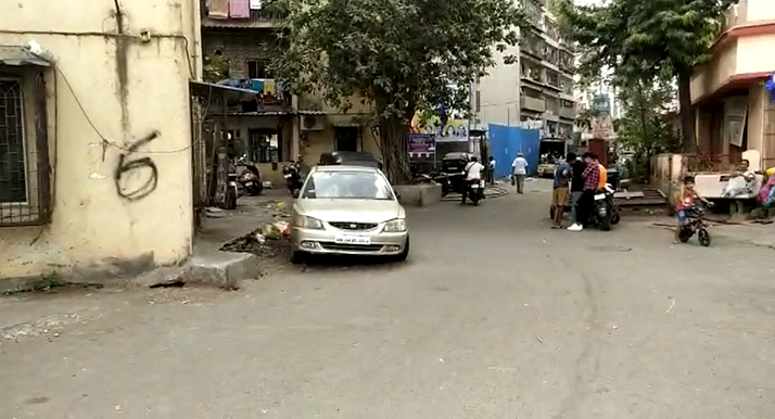 Locality & Neighbourhood
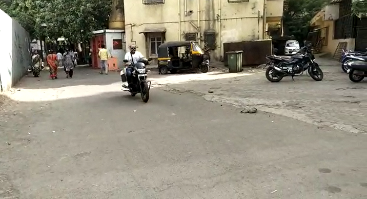 Locality & Neighbourhood
|
|
Prone to traffic jams during rush hour
|
|
|
116
|
|
|
51 to 85 dB
|
|
|
The surrounding area is clean. No presence of nalas /slums /gutters /sewers
|
|
|
-
|
Contact Details
| Organisation Name ( Builder's Name) | NA | Organisation Type | NA |
| Website URL | NA | Office Number | NA |
| Description Of Other Type Of Organisation | NA | ||
Address Details
| Block Number | NA | Building Name | NA |
| Street Name | NA | Locality | NA |
| Landmark | NA | Division | NA |
| Pin Code | NA | Taluka | NA |
| State /UT | NA | District | NA |
| Village | NA |
| Consultant Type | As per Brochure | As per RERA |
|---|