Location & Projects
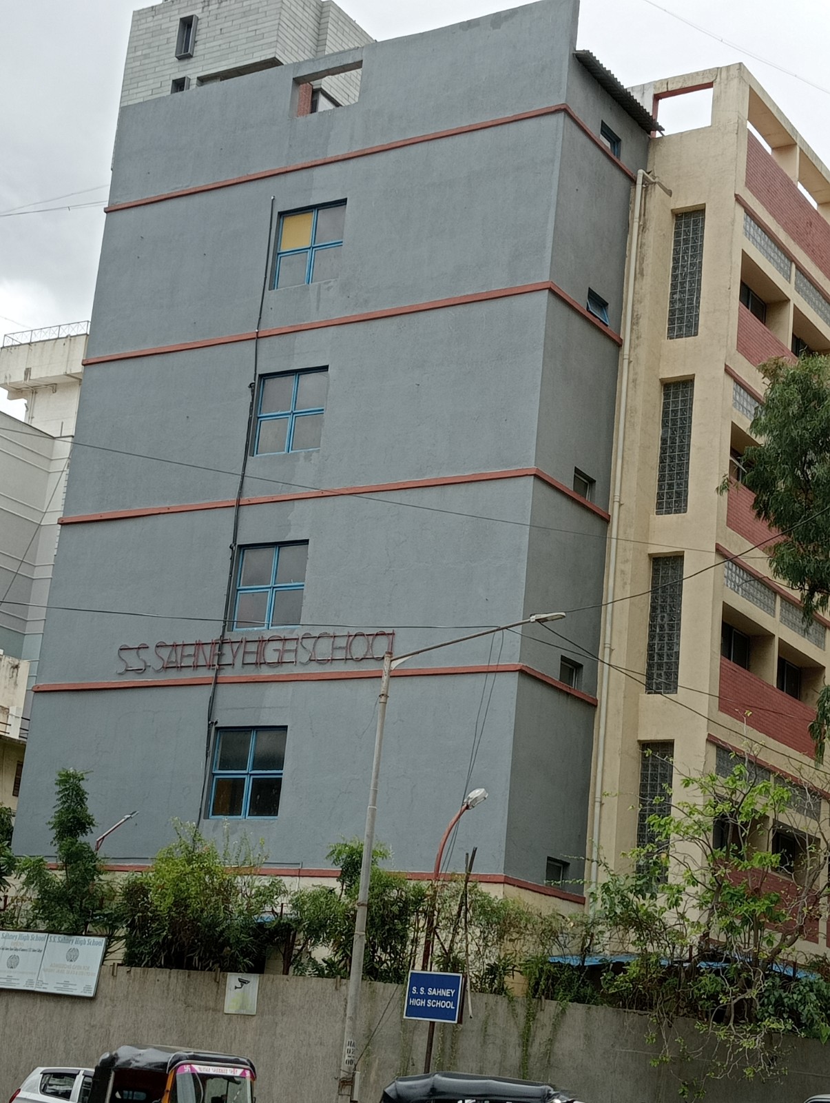
 Building & Flat
 Back
BackProject Address
| City | Mumbai City |
| Zone | Western Suburbs |
| Locality | Santacruz (west) |
| Sub-Locality | Santacruz Central |
| Pin Code | 400054 |
| Post Office | Santacruz West |
| Police Station | NA |
Administrative Coordinates
| State/UT | Maharashtra |
| District | Mumbai Suburban |
| Division | Konkan |
| Taluka | Andheri |
| Village | Andheri |
| Street | 17th Road, Plot No J/3, Manekji Gazdar Scheme Of Santacruz |
| Pin Code | 400054 |
| Locality Area | Santacruz West, 1497.50 |
Boundaries
| Boundaries - East By Plot Bearing Ctsno 624 By 6 Of Village Bandra G |
Boundaries - West By 17th Road |
Boundaries - North By Plot Bearing Ctsno 624 By 3 Of Village Bandra G |
Boundaries - South By Plot Bearing Ctsno 624 By 7 Of Village Bandra G |
| Survey No / CTS No / Plot Bearing No / Final Plot No. Cts No 624/5, Plot No J/3 Manekji Gazdar Scheme Of Santacruz |
Map Address
G, Plot Bearing CTS No. 624/5 of Village Bandra, 17th Rd, Santacruz West, Mumbai, Maharashtra 400054

Brochure Address
G, Plot Bearing Cts No. 624/5 Of Village Bandra, 17th Rd, Santacruz West, Mumbai, Maharashtra 400054

Municipal Corporation / Council & Ward
Municipal Corporation Of Greater Mumbai
Ward H West

Physical Infrastructure
Medical Care
P. D. Hinduja Hospital & Medical Research Centre, Khar Facility, Marvela, 724, 11th Rd, Khar, Khar West,
1.50 km
Educational Institutes
Podar International School, Saraswati Rd,
1.50 km
Retail & Supermarkets
Society Stores, Co-op Hsg, 97b, Juhu Tara Rd, Santacruz West,
1.70 km
International Airport
Chhatrapati Shivaji Maharaj International Airport
9.50 km
Bus Station
Bus Stop At Khar Danda Road,
320 m
Railway Station
Khar Railway Station (w), Khar, Ram Krishna Nagar, Khar West,
1.60 km
Highways & Roadways
Linking Road,
500 m
Medical Care
Ramakrishna Mission Hospital, 3rfp+x5j, 12th Rd, Khar
600 m
Educational Institutes
Jasudben M L School, Dr Madhuri Shah Campus,ramakrishna Mission Marg 16th & 17th Road,khar South Avenue, Khar West
20 m
View More
View Less
Social Infrastructure
Malls & Entertainment
Foodhall@linking Road | Grocery Store | Cafe | Gifts Online, Plot No, 106, Linking Rd,
550 m
Commercial Infrastructure
Business Districts
| BKC | 7.50 km |
| Nariman Point / Fort | 21.10 km |
| Andheri East | 6.50 km |
| Thane | 29.10 km |
| Lower Parel | 10.50 km |
| CBD Belapur, Navi Mumbai, | 37.80 km |
 Locality & Neighbourhood
 Locality & Neighbourhood
.jpg) Locality & Neighbourhood
Locality & Neighbourhood
|
|
Not prone to traffic jams
|
|
|
52 Satisfactory
|
|
|
0 to 50 dB
|
|
|
The surrounding area is clean. No presence of nalas /slums /gutters /sewers
|
|
|
IOD + CC
|
Contact Details
| Organisation Name ( Builder's Name) | NA | Organisation Type | NA |
| Website URL | NA | Office Number | NA |
| Description Of Other Type Of Organisation | NA | ||
Address Details
| Block Number | NA | Building Name | NA |
| Street Name | NA | Locality | NA |
| Landmark | NA | Division | NA |
| Pin Code | NA | Taluka | NA |
| State /UT | NA | District | NA |
| Village | NA |
| Consultant Type | As per Brochure | As per RERA |
|---|