Location & Projects
 Building & Flat
 Back
BackProject Address
| City | Mumbai City |
| Zone | Eastern Suburbs |
| Locality | Chembur (east) |
| Sub-Locality | NA |
| Pin Code | 400074 |
| Post Office | Mahul Road |
| Police Station | NA |
Administrative Coordinates
| State/UT | Maharashtra |
| District | Mumbai Suburban |
| Division | Konkan |
| Taluka | Kurla |
| Village | Kurla |
| Street | R.c.marg Village Maravali |
| Pin Code | 400074 |
| Locality Area | Ghatkoper Mahul Road Mumbai, 1277.79 |
Boundaries
| Boundaries - East Cts No 115 Municipal Dispensary Reservation |
Boundaries - West Cts No 132-4 Thakur House |
Boundaries - North Cts No 116 Pt Rcf Township |
Boundaries - South Cts No 132-1 D P Road |
| Survey No / CTS No / Plot Bearing No / Final Plot No. Cts No. 132/5 |
Map Address
Mahul Rd, Azad Nagar, Chembur, Mumbai, Maharashtra 400074

Brochure Address
Behind Rcf Police Station, Opp. Ryan International School, Ashish Theatre Road,

Municipal Corporation / Council & Ward
Municipal Corporation Of Greater Mumbai
Ward M East

Physical Infrastructure
Medical Care
Sushrut Hospital & Research Centre, 365, Sant Vershaw Kakkaya Marg, Swastik Park, Chembur, Mumbai, Maharashtra 400071
2.8 km
Educational Institutes
St. Anthony's Girls' High School, St Anthony's Rd, Chembur, Mumbai, Maharashtra 400071
3.4 km
Retail & Supermarkets
Shidhivinayak Kirna Store
300 m
International Airport
Chhatrapati Shivaji Maharaj International Airport
13.1 km
Bus Station
Vashi Naka, Mahul Rd, Wasi Naka, S V Patel Nagar, Chembur, Mumbai, Maharashtra 400074
550 m
Railway Station
Chembur Railway Station, Narayan Gajanan Acharya Marg, Chembur Gaothan, Chembur, Mumbai, Maharashtra 400071
3.8 km
Highways & Roadways
Suman Nagar Flyover, Swastik Park, Chembur, Mumbai, Maharashtra 400071
2.9 km
Medical Care
Zen Multi Speciality Hospital
2.7 km
Educational Institutes
Swami Vivekanand High School And Junior College, Rd Number 2, Sindhi Society, Chembur, Mumbai, Maharashtra 400071
2.7 km
Domestic Airport
Domestic Airport Terminal 1-b, Navpada, Vile Parle East, Vile Parle, Mumbai, Maharashtra 400099
13.3 km
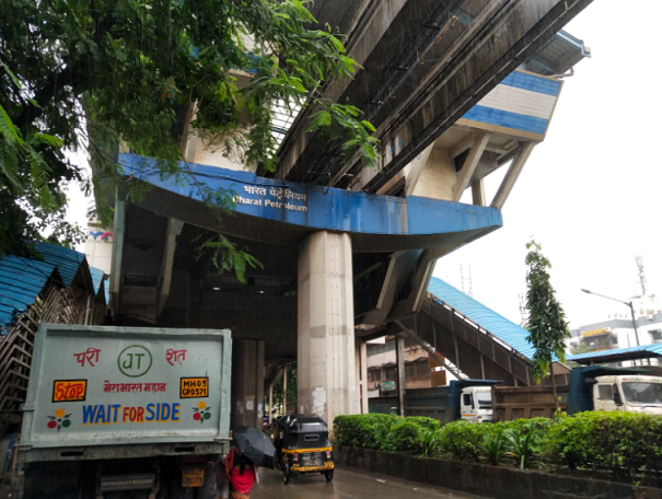
Monorail Station
Bharat Petroleum, Azad Nagar, Chembur, Mumbai, Maharashtra 400071
230 m
View More
View Less
Social Infrastructure
Malls & Entertainment
Cubic Mall, Cg Rd, Opposite Opp Borla Society, Chembur East, Vasant Vihar Complex, Chembur, Mumbai, Maharashtra 400074
2.3 km
Commercial Infrastructure
Business Districts
| BKC | 7.4 km |
| Nariman Point / Fort | 17.3 km |
| Andheri East | 12.4 km |
| Thane | 24.4 km |
| Lower Parel | 11.7 km |
| Vashi, Navi Mumbai, Maharashtra | 13.4 km |
 Monorail Station
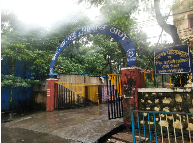 police Station
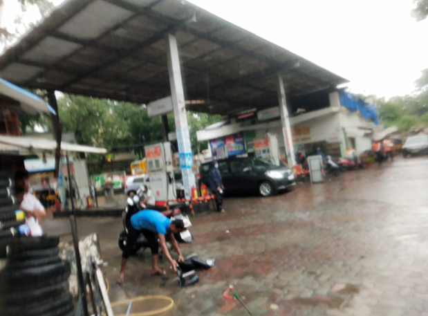 Petrol Pump
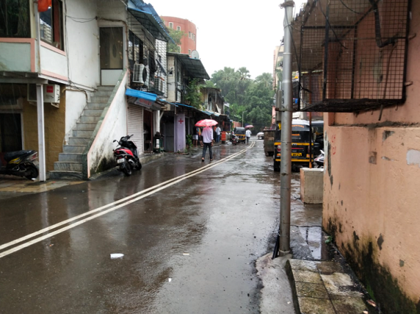 Slum
Slum
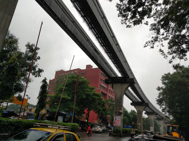 Monorail
|
|
Prone to traffic jams during rush hour
|
|
|
38
|
|
|
51 to 85 dB
|
|
|
There are slums settlements near the project
|
|
|
IOD + CC
|
Contact Details
| Organisation Name ( Builder's Name) | NA | Organisation Type | NA |
| Website URL | NA | Office Number | NA |
| Description Of Other Type Of Organisation | NA | ||
Address Details
| Block Number | NA | Building Name | NA |
| Street Name | NA | Locality | NA |
| Landmark | NA | Division | NA |
| Pin Code | NA | Taluka | NA |
| State /UT | NA | District | NA |
| Village | NA |
| Consultant Type | As per Brochure | As per RERA |
|---|