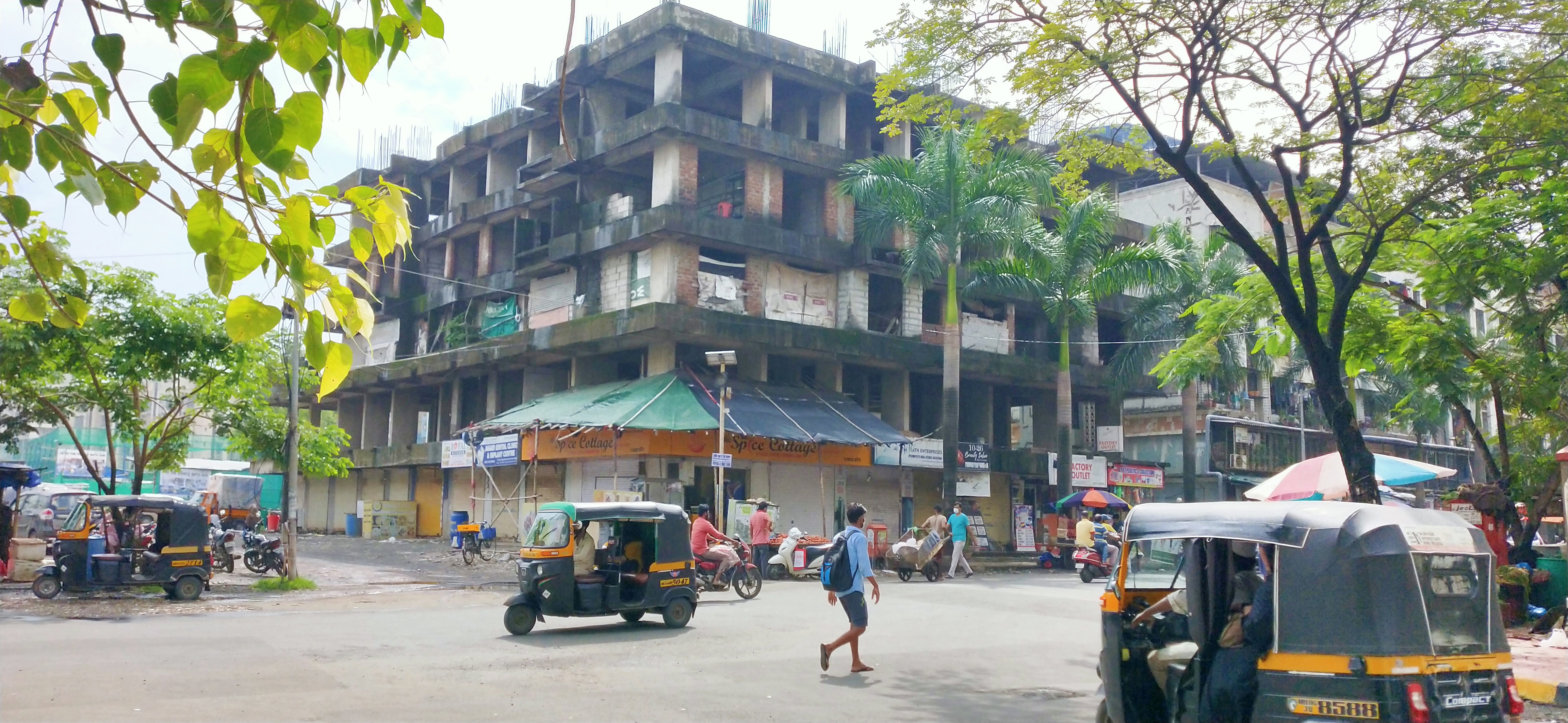
Location & Projects
| City | Mira-bhayandar |
| Zone | Mira Road |
| Locality | Mira Road East |
| Sub-Locality | Gcc Club Road |
| Pin Code | 401107 |
| Post Office | Kainkiya Post |
| Police Station | Kanikya |
| State/UT | Maharashtra |
| District | Thane |
| Division | Konkan |
| Taluka | Thane |
| Village | Mira-bhayandar (m Corp.) |
| Street | NA |
| Pin Code | 401107 |
| Locality Area | NA, 5509.63 |
| Boundaries - East Survey No 89-2 Of Village Ghodbunder |
Boundaries - West Survey No 225 Of Village Ghodbunder |
Boundaries - North Survey No 86-2 Of Village Ghodbunder |
Boundaries - South 18 Mw D P Road |
| Survey No / CTS No / Plot Bearing No / Final Plot No. 86/1/1,2,3,4,8a,8b,8c,88/1/1, 89 1/2,88/a/a,1/3, 105/1/2,225 Of Village Navghar |
Map Address
B-3 India, B-3, Mira Road East, Mira Bhayandar, Maharashtra 401107

Brochure Address
B-3 India, B-3, Mira Road East, Mira Bhayandar, Maharashtra 401107

Municipal Corporation / Council & Ward
Mira -bhayandar Municipal Corporation
NA

Medical Care
A Care Hospital
1.8 km
Educational Institutes
Rassaz International School
2.7 km
Retail & Supermarkets
D Mart
5.2 km
International Airport
Mumbai International Airport
24.3 km
Domestic Airport
Domestic Airport
23.0 km
Bus Station
Mira Road Bus Depot
3.0 km
Railway Station
Mira Road Railway Station
3.4 km
Highways & Roadways
Western Express Highway
650 m
Malls & Entertainment
Maxus Mall
4.6 km
Business Districts
| BKC | 30.8 km |
| Nariman Point / Fort | 46.6 km |
| Andheri East | 20.8 km |
| Thane | 19.4 km |
| Lower Parel | 37.5 km |
| Mindspace,Malad | 17.2 km |
|
|
-
|
|
|
-
|
|
|
-
|
|
|
-
|
|
|
-
|
| Organisation Name ( Builder's Name) | NA | Organisation Type | NA |
| Website URL | NA | Office Number | NA |
| Description Of Other Type Of Organisation | NA | ||
| Block Number | NA | Building Name | NA |
| Street Name | NA | Locality | NA |
| Landmark | NA | Division | NA |
| Pin Code | NA | Taluka | NA |
| State /UT | NA | District | NA |
| Village | NA |
| Consultant Type | As per Brochure | As per RERA |
|---|


 Building & Flat
 Back
Back.jpg)
