Location & Projects
 Building & Flat
 Back
BackProject Address
| City | Bhiwandi-nizampur |
| Zone | Bhiwandi East |
| Locality | Mumbai- Nasik Highway |
| Sub-Locality | Saravali |
| Pin Code | 421311 |
| Post Office | Kon |
| Police Station | NA |
Administrative Coordinates
| State/UT | Maharashtra |
| District | Thane |
| Division | NA |
| Taluka | Bhiwandi |
| Village | Ranjnoli |
| Street | Bhiwandi Kalyan Junction, |
| Pin Code | 421302 |
| Locality Area | Mumbai Nashik Expressway,, 20895.50 |
Boundaries
| Boundaries - East Internal Drive Way |
Boundaries - West Bldg No A3 A5 B6 |
Boundaries - North Internal Drive Way |
Boundaries - South Bldg No B12 |
| Survey No / CTS No / Plot Bearing No / Final Plot No. Sno 49part, Hissano 1to9, 50 Part,51 Part,52 Part, Hissano 2, 42, 53 Part,hissano 1aand8, Sno 16,18 |
Map Address
Tata Housing Amantra Kalyan Junction, Bhiwandi, Mumbai - Nashik Expy, Sapna Industrial Estate, Saravali, Ranjnoli, Maharashtra 421302

Brochure Address
Tata Housing Amantra Kalyan- Bhiwandi Bypass , Mumbai - Nashik Expressway, Saravali, Ranjnoli,

Municipal Corporation / Council & Ward
Bhiwandi-nizampur City Municipal Corporation
Bhiwandi-nizampur Municipal Corporation

Physical Infrastructure
Medical Care
Ved Hospital
4.2 km
Educational Institutes
Glory English High School
2.8 km
Retail & Supermarkets
D-mart
7.3 km
International Airport
Chhatrapati Shivaji Maharaj International Airport
34.8 km
Bus Station
Chartered Bus
51 m
Railway Station
Kalyan Railway Station
7.5 km
Highways & Roadways
Nashik Highway
350 m
View More
View Less
Social Infrastructure
Malls & Entertainment
Metro Junction Mall
7.7 km
Commercial Infrastructure
Business Districts
| BKC | 36.7 km |
| Nariman Point / Fort | 52.3 km |
| Andheri East | 36.6 km |
| Thane | 14.7 km |
| Lower Parel | 45 km |
| Vashi | 30.9 km |
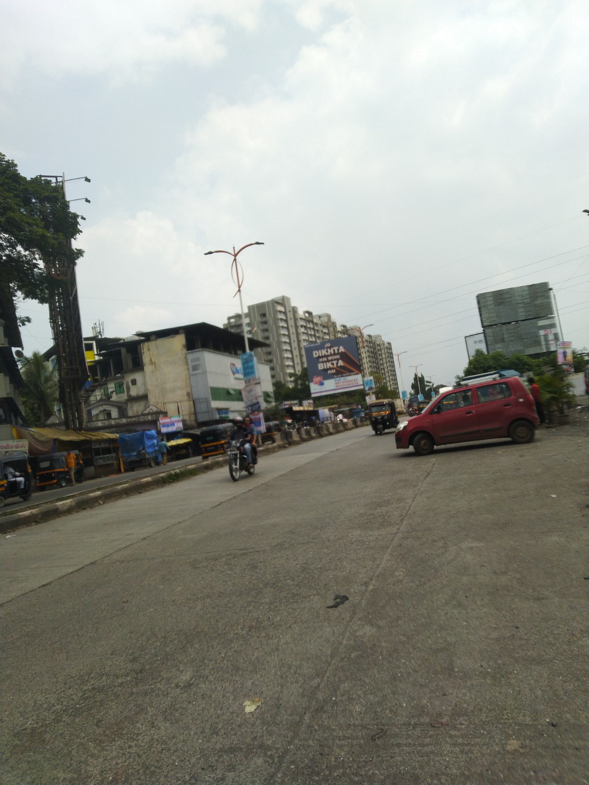
.jpeg) Locality & Neighbourhood
Locality & Neighbourhood
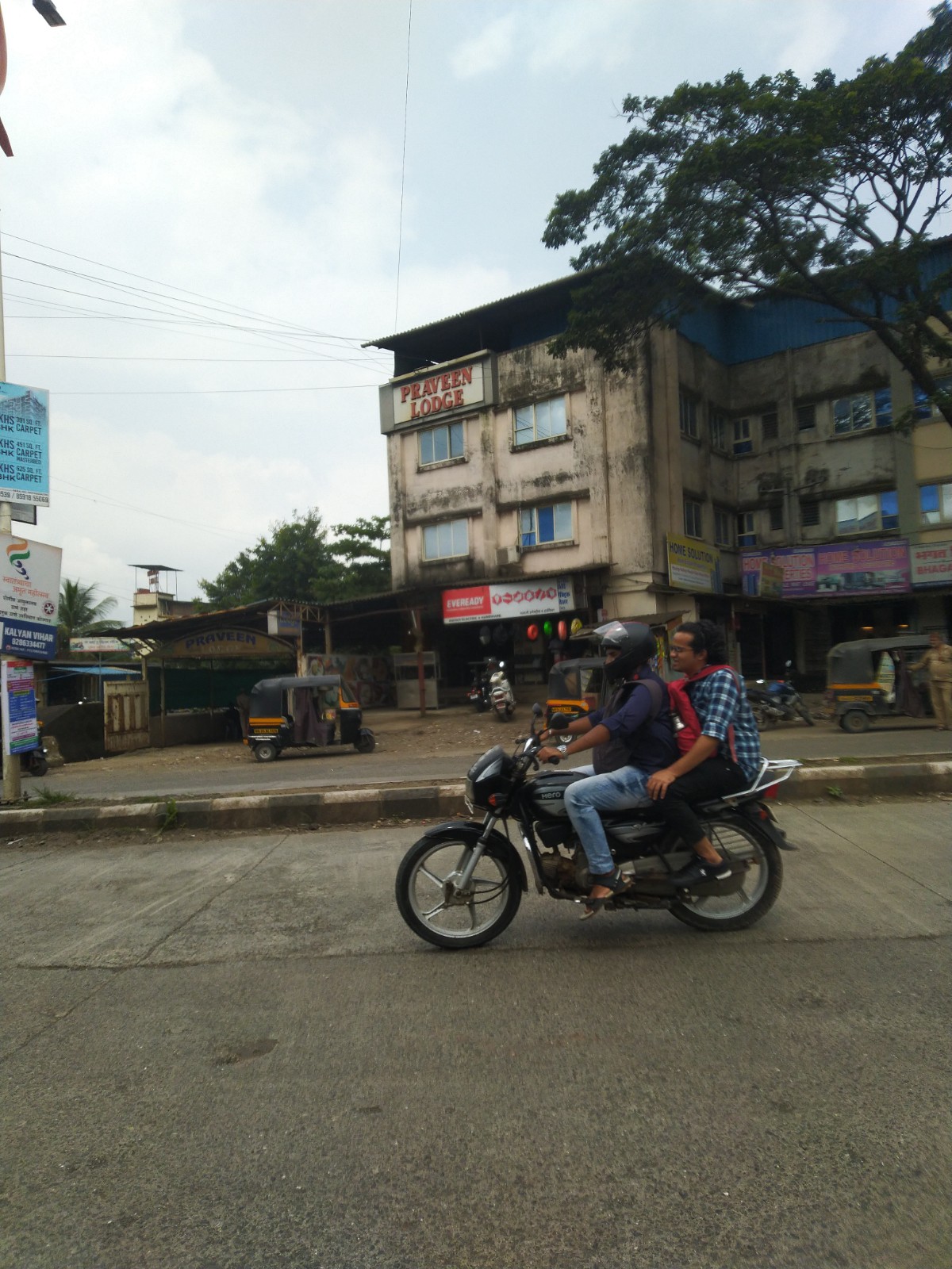
.jpeg) Locality & Neighbourhood
Locality & Neighbourhood
.jpeg) Locality & Neighbourhood
Locality & Neighbourhood
 Locality & Neighbourhood
 Locality & Neighbourhood
|
|
Prone to traffic jams during rush hour
|
|
|
109
|
|
|
51 to 85 dB
|
|
|
The surrounding area is clean. No presence of nalas /slums /gutters /sewers
|
|
|
Occupation Certificate
|
Contact Details
| Organisation Name ( Builder's Name) | NA | Organisation Type | NA |
| Website URL | NA | Office Number | NA |
| Description Of Other Type Of Organisation | NA | ||
Address Details
| Block Number | NA | Building Name | NA |
| Street Name | NA | Locality | NA |
| Landmark | NA | Division | NA |
| Pin Code | NA | Taluka | NA |
| State /UT | NA | District | NA |
| Village | NA |
| Consultant Type | As per Brochure | As per RERA |
|---|